
CERC — Environmental Software and Services

Forecasting the air quality in London: Clean Air Routes London
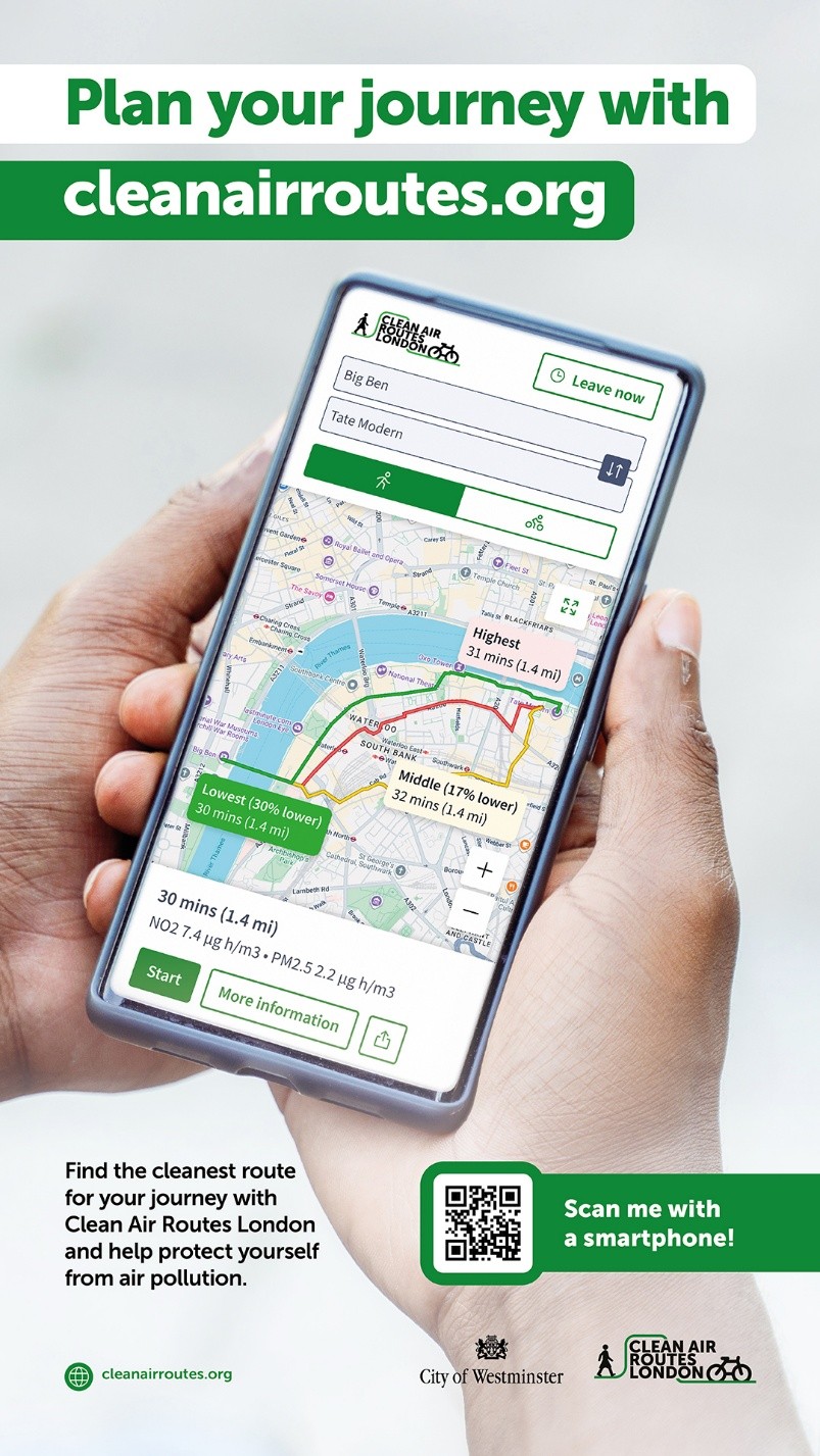
CERC has developed the air quality forecasting and data processing systems behind the Clean Air Routes London (CARL) tool, commissioned by Westminster City Council and now available across London.
The tool allows users to plan walking or cycling routes based on predicted air pollution levels, helping to reduce personal exposure. Routes can be explored in real time or up to three days in advance, using high-resolution forecasts.
Combining forecasts with measurements
The system builds on CERC’s long-standing airTEXT operational air quality forecasting and alert service for London.
Forecasts are generated using ADMS-Urban, combining emissions data, meteorological forecasts and regional background pollution to produce detailed maps of pollutant concentrations across the city.
To improve accuracy at street level, CARL incorporates recent air quality measurements from monitoring networks and sensor data across London. These observations are used to adjust the modelled concentrations, ensuring that the forecasts reflect current conditions as closely as possible.
Route-based exposure calculations
CERC developed the backend processing that enables air quality to be evaluated along individual routes.
Routes are divided into segments in both space and time, allowing pollutant concentrations to be matched to the expected time a user would pass through each location. This enables the calculation of total exposure along a route, rather than simply comparing average concentrations.
The system then ranks alternative routes based on their predicted air quality, allowing users to choose cleaner options where available.
Operational system and outputs
The Clean Air Routes system operates as part of a fully integrated forecasting and data processing chain:
- High-resolution air quality forecasts produced using ADMS-Urban
- Integration of monitoring and sensor data through data fusion
- Automated calculation of exposure along multiple routes
- Delivery of results via a public-facing web platform
This approach can be applied in other cities and environments, providing a scalable framework for integrating air quality forecasting into public information services.